|
Looking back over the past three months, the 2012-2013 winter
(December, January, February) was significantly cooler than the winter of
2011-2012. But don’t be misled. This past winter was still well above
average in contrast to longterm records. It ranked as the 20th warmest winter
recorded since record-keeping began. In late 2012-early 2013, the majority of
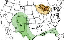
the contiguous United States was relatively warmer and wetter than average. The
U.S. Southeast and Midwest saw improved drought conditions by January and
February of this year. However, the Central Plains and Mountain West remained
relatively dry and saw very little drought relief.
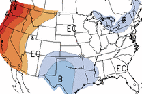
The
weather pattern was quite active across the eastern United States towards the
end of January and into February 2013. As a ridge built across the western
U.S., troughs or areas of low pressures pushed into the eastern United States.
Generally, precipitation amounts were higher east of the Mississippi River and
rainfall totals were well below normal west of the river. Also, the areas that
received more rainfall than others also experienced warmer temperatures than
average.
Typically,
you associate warmer temperatures with dryer conditions. However, that was not
the case for the eastern U.S. over the past two months. Many states in the
Great Lakes region and across the U.S. Southeast, including Michigan,
Wisconsin, Illinois, Louisiana, Mississippi, Alabama, and Georgia had winter
precipitation totals ranking among their ten wettest. The drought continues
across the western U.S. where fears of another intense wildfire season could
develop in the spring and summer. Last year, we saw hundreds of thousands acres
that were burned due to a very active wildfire season.
|