Email not looking beautiful? View it in your browser

Weather Wiz Kids


Fall 2014

Summer Review

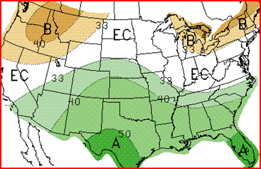
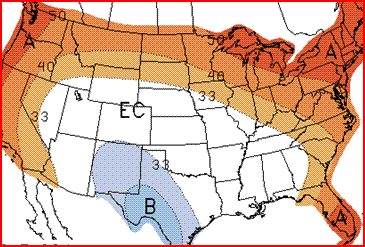
The summer of 2014 was on average below normal temperaturewise. July 2014 went down as the record coolest July in many locations from the Great Lakes to the Deep South. Among the cities setting a new record coolest July were:

- Indianapolis, Indiana

- Urbana, Illinois

- Decatur, Illinois

- Cape Girardeau, Missouri

- Jonesboro, Arkansas

- Pine Bluff, Arkansas

- Tupelo, Mississippi

- Vicksburg, Mississippi


Contributing heavily to the cool month in these areas were a pair of potent plunges in the jet stream driving cold fronts unusually far south for a core summer month.


Hurricane Season Review: From June-August 2014, the Atlantic Hurricane Season was quiet. It was a different story in the Pacific Ocean. The season began with an active start, with three tropical cyclones developing before June 15, including two Category 4 hurricanes, of which one became the strongest tropical cyclone ever recorded in May, in the East Pacific. After a less active period in late June and early July, activity once again picked up in the second half of the month. Most notably, Hurricane Iselle became the strongest tropical cyclone on record to strike the Big Island of Hawaii, Hurricane Marie became the first Category 5 Pacific hurricane since Hurricane Celia in 2010, Hurricane Genevieve became the first hurricane to exist in all three Pacific basins since 2003's Hurricane Jimena, and Hurricane Odile was the most intense tropical cyclone to make landfall over the Baja California peninsula.


Fall Precip Outlook

The Climate Prediction Center is forecasting above normal precipitation across parts of the Southwest and Plains and below normal precipitation across the Pacific Northwest.

Legend
Fall Precip Outlook

Fall Temp Outlook


The Climate Prediction Center is forecasting above normal temperatures across most of the United States. You can expect below normal temperatures across the Southwest.

Legend
Fall Precip Outlook

2014-2015 Winter Outlook


NOAA's official Winter Forecast won't come out until October, but here's what The Farmers' Almanac is saying: The winter of 2014–15 will see below-normal temperatures for about three-quarters of the nation. A large zone of very cold temperatures will be found from east of the Continental Divide east to the Appalachians. The most frigid temperatures will be found from the Northern Plains into the Great Lakes.


The coldest outbreak of the season will come during the final week of January into the beginning of February, when frigid arctic air drops temperatures across the Northern Plains to perhaps 40 below zero. As the frigid air blows across the Great Lakes, snow showers and squalls will drop heavy amounts of snow to the leeward side of the Lakes. No region will see prolonged spells of above-normal temperatures; only near the West and East Coasts will temperatures average close to normal.


Over the eastern third of the country, we are expecting an active storm track with a number of storms delivering copious amounts of snow and rain. Near-normal precipitation is expected for the Pacific Northwest, the Southwest States, and Northern Plains, while below-normal precipitation values are forecast for the Southwest States as well as the Upper Midwest and the Great Lakes. The Central and Southern Plains are expected to receive above-average precipitation.

Fall Deal


Weather Wiz Kids® T-Shirt
Product Information:
This is the perfect holiday gift for your weather enthusiast. Gildan® T-Shirt made from 100% preshrunk cotton. Standard children's fit. Machine washable.

Price: $7.99

Weather Wiz Kids T-Shirt
For more information: Check out www.weatherwizkids.com/weather-store-tshirt.htm


You received this email because you either bought one of our products or signed up to our mailing list. If you would like, you can unsubscribe.

Weather Wiz Kids® is a registered trademark.